DIRECTIONS TO ROCKY POINT
To get to Puerto Peñasco from the United States border, you first need to head to the town of Lukeville, Arizona. From there, take State Route 85 south, which will lead you directly to the Mexico border. Once you cross the border, continue on Mexico Highway 8 westward, following the signs to Puerto Peñasco.
Mexico Highway 8 is a well-maintained highway that passes through stunning desert landscapes. During the journey, you may encounter various military and customs checkpoints, so it's important to have your identification and vehicle documents handy.
After approximately 60 miles of driving from the border, you'll reach the entrance to Puerto Peñasco. Here, you'll find signs and signage that will guide you to the city center and to different hotels, resorts, and beaches.
Remember that when driving in Mexico, it's important to respect traffic laws and drive with caution. Maintain a moderate speed and follow traffic indications to ensure a safe and hassle-free journey to your final destination in Puerto Peñasco.

Rocky Point Directions from Arizona/California.
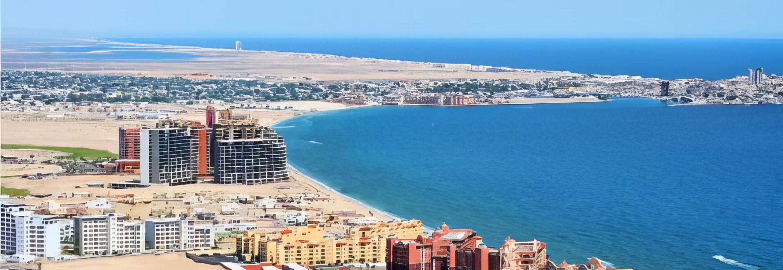
Just 60 miles south of the Lukeville, Arizona / Sonoyta, Mexico border crossing, Puerto Penasco (Rocky Point) is great for the quick weekend getaway! Rocky Point is located on the North West coast of the Sea of Cortez in Northern Sonora, Mexico.
From Phoenix:
- Take the I-10 West to the end of town (Buckeye Area)
- Take Hwy.85 South to Gila Bend (same exit as I-8 to San Diego)
- At the end of Gila Bend you will see a McDonald's, right before the Mc Donald's turn right on to the continuation of Hwy.85 South.
- Follow Hwy.85 straight into Mexico.
- In Sonoyta, just follow the signs overhead that point to Pto. Peñasco (that is Puerto Peñasco abbreviated).
- You now have about 60 more miles until you get there
From Phoenix South East Valley:
- Take I-10 East to Maricopa Rd. If you miss it Queen Creek Rd Hwy.347 will do (they end up the same road.) Head South on Maricopa (347).
- Travel about 10 Miles & look for Hwy. 238 West. (Mile Post 175).
- Travel West on Hwy. 238 for about an hour until you get to Hwy. 85 outside of Gila Bend. Turn left heading West into Gila Bend.
- At the end of Gila Bend you will see a Mc Donald's, right before the Mc Donald's turn right on to the continuation of Hwy.85 South.
- Follow Hwy.85 straight through into Mexico.
- In the town of Sonoyta, just follow the signs overhead that point to Pto. Peñasco (that is Puerto Peñasco abbreviated).
- You now have about 60 more miles until you get there.
From Tucson:
- Take the I-10 to I-19 South. You will only be on I-19 for about a mile, then exit onto Ajo highway (also known as Hwy.86).
- Take Hwy.86 West for about 2 & 1/2 hours until you get to a town called Why.
- At Why take a left, heading South on Hwy.85 to the border town of Lukeville.
- Follow Hwy.85 straight through into Mexico.
- Drive through the town of Sonoyta following the signs overhead that point to Pto. Peñasco.
- You now have about 60 more miles until you get there.
From Yuma:
- Cross the border into Mexico and head to San Luis.
- Follow the signs through town to El Golfo and Puerto Penasco.
- You will drive approximately 1 1/2 hours and before you reach El Golfo and turn left to Puerto Penasco.
- You will dirve another about hour and come to a T intersection where you will turn Left.
- About 5 minutes at the next intersection you will turn Right into town.
The 60 mile drive along Mexico's Route 8 to Rocky Point is in good condition, although you should always be extremely careful when driving in Mexico.
Rocky Point Directions guide made by Castaways Rocky Point. If you need more information please contact us here!


